Austrian Alps Blanketed: Stubai Glacier Braces for Record Snowfall
- Austria experienced significant snowfall recently, with the Stubai Glacier reporting some of the largest accumulations, although closures occurred due to high avalanche risks.
- Switzerland saw continued snowfall, with Saas Fee nearly reaching the world’s deepest snowpack, while Laax maintained good conditions despite avalanche concerns.
France also received substantial snowfall, particularly in areas like Isola 2000, and retains excellent open terrain with several resorts boasting deep snow bases.
EUROPE INTRO
A mixed picture in Europe with the snow weather that arrived in the Alps, Dolomites and Pyrenees in late February, continuing for a third week with more significant accumulations on higher slopes. The transformation in the Pyrenees is particularly marked with seasons extended and the most terrain open there’s been all winter. Against that, though, springtime temperatures are warming in valleys, and more lower altitude terrain is closing for the season across Europe. A better week for much of Scandinavia with more snowfall and cold temperatures, although still warmer afternoon temperatures at ski areas in southern Norway around Oslo, Lillehammer and Voss. Scotland has very limited terrain open still, and Eastern Europe has a similar high/low terrain springtime mix of good/fresh snow up top, not much left on lower slopes, with smaller, lower areas now ending their 23-24 seasons altogether as the rest of Europe.
AUSTRIA REPORT
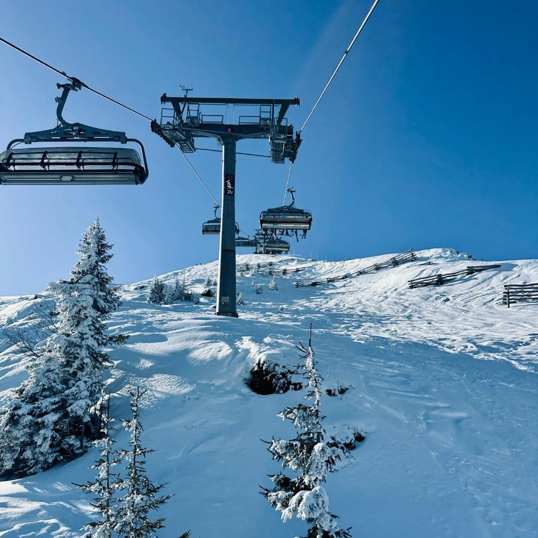
Austria has posted some of its biggest snowfalls of the season over the last week. The Stubai Glacier (90/455cm / 36/182″) reported 100cm (40″) in 24 hours going into last weekend and another 20cm (4″) the next day. It has the country’s deepest base and is only 15cm/6″ of the world’s deepest. The snowfall boosted bases but also led to complete closures of some centres until the storm eased and slopes were made avalanche-safe. Obergurgl was another completely shut down at the end of last week by very high avalanche danger. Elsewhere, though, lower slopes are losing the springtime thaw battle and one of the country’s big areas, the Skiwelt, announced the Ellmau sector was closing early for the season due to inadequate snow remaining down low.
AUSTRIA FORECAST
We’ll see warmer temperatures and moistly drier weather throughout the remainder of the week, with freeze-thaw conditions on all but the highest slopes. However, there’s a chance of 5-15cm (2-6″) more snowfall to end the week in Tirol and western Austria.
SWITZERLAND REPORT
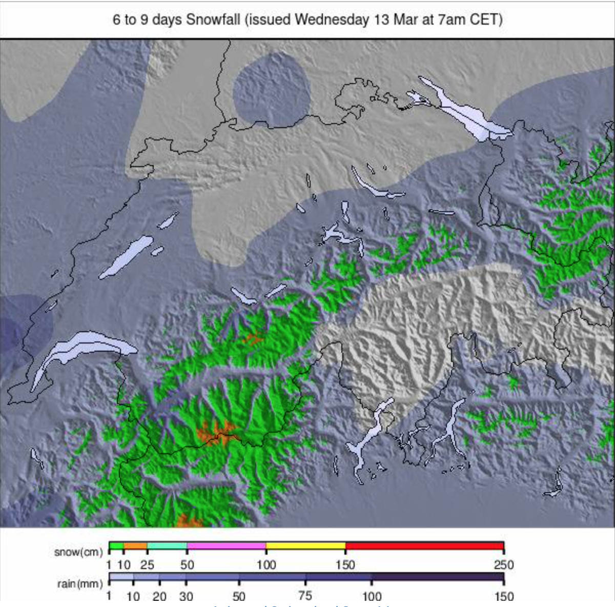
It’s been another snowy week in Switzerland, the third in a row. We’ve seen some big accumulations over that period, most noteworthy perhaps Saas Fee (130/470cm / 52/188″), which after over two metres (80″) of snowfall last week scored another metre (40″) in 72 hours to put it within a few centimetres/inches of the world’s deepest snowpack. The downside though is severe avalanche danger which meant only 15% of its area could open at the start of this week. Elsewhere across Switzerland, there have been other ski areas seeing bases significantly boosted, if not quite so much as Saas Fee. Laax (0/450cm, / 0/180″) is also among those posting the world’s deepest snow, but it managed to keep 70% of its slopes open having had less massive accumulations. It’s zero snow depth stat at the resort level also reflects the arrival of springtime in Switzerland – plenty of snow up top but little left in the valleys.
SWITZERLAND FORECAST
It was a mostly sunny end to the week. Temperatures stayed at or below freezing on the highest slopes above 2500m, but they progressively warmed up at lower altitudes, with daytime highs of +10C down at 1,000m altitude.
FRANCE REPORT
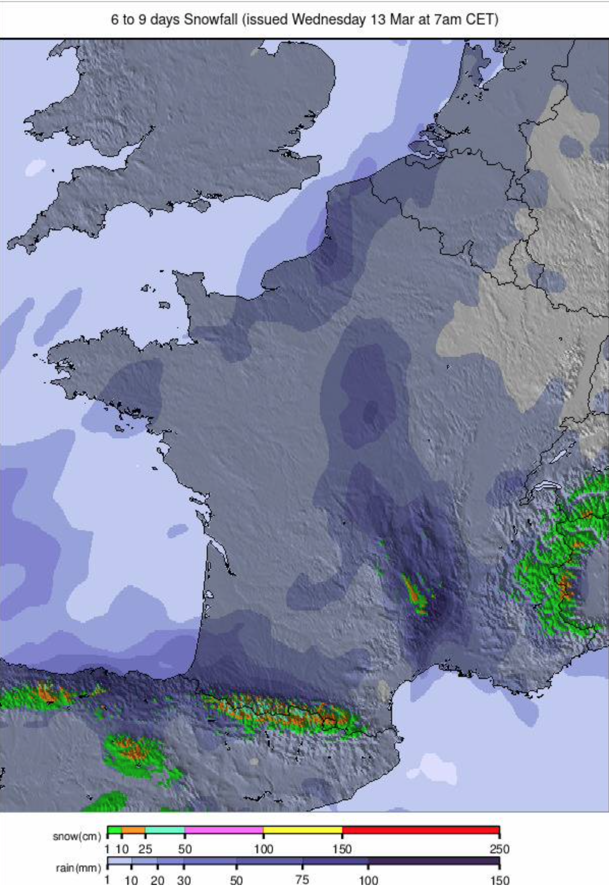
It has been another snowy week in the French Alps and Pyrenees with ski areas at more southerly latitudes seeing some of the biggest gains. Isola 2000 (235/300cm / 94/120″), the closest centre to Nice and the Mediterranean coast, for example, posted a 1 metre (40″) accumulation over 72 hours at the start of this week. Elsewhere, there’s been plenty more snowfall at high altitudes, and 6 of the world’s 10 deepest reported snow bases, including four of the top 5, are in the French Alps, led by Alpe d’Huez (121/480cm / 50/192″). Open terrain also remains excellent, with most big areas posting over 90% of their slopes still open.
FRANCE FORECAST
Drier, warmer weather is making its big comeback as we complete this week’s report and is due to continue into next week. We’ll still see -10C overnight at 3,000m altitude, but +10C in the afternoons at 1,000m altitudes – so normal spring weather.
ITALY REPORT
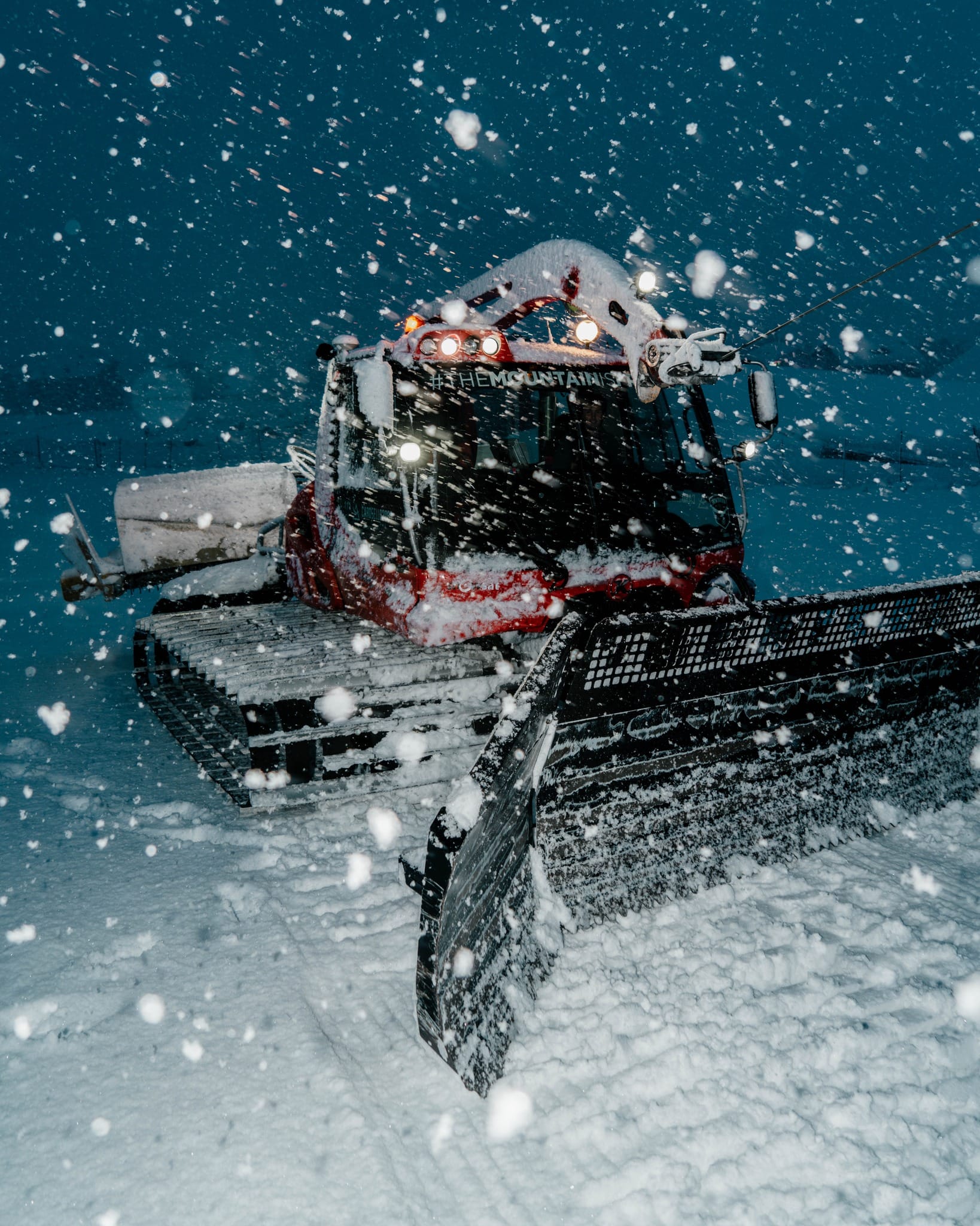
It’s been a third snowy week in Italy, if anything, the snowiest yet in fact, but most of it has been falling on the upper half of ski slopes, with some rain and certainly much less snow in lower areas. But that said, resorts further south like Abetone (30/30cm / 12/12″) in Tuscany and Cimone (30/50cm / 12/20″), which have suffered from warm weather and little snowfall all winter, are in much better shape after fresh snow there and have 20-30% of their runs open at last. But at the bigger, more northerly areas, we’ve seen another metre of snow over the last 7 days for resorts like Livigno(94/174cm / 38/70″) and Cervinia (0/260cm / 0/104″) this week, and most slopes remain open with fresh snow lying deep.
ITALY FORECAST
Sunshine is returning now, and drier weather is forecast for the coming week. Overnight lows on higher slopes are down to -5C, but daytime highs in low valleys reach +15C, so it feels very springlike.
GERMANY REPORT
Less than 10% of German ski areas are open, with the majority giving up after the warm, dry weather that’s dominated winter made it difficult to build a decent base anywhere. The country’s bigger, higher centres are still open, though, with the Zugspitze Glacier (145/286cm / 56/114″) posting the deepest snow in the country, Oberstdorf (40/153cm / 16/61″) the most open terrain, rarely for Germany still 100% of its slopes at its Fellhorn area, and 34km (21 miles) of runs.
GERMANY FORECAST
It’s remaining too warm for snow, with valley highs at 1,000m reaching +15C in the afternoons. A few degrees below freezing at 2,000m overnight but +5C likely in the daytime. A few showers, possibly snow up high, but mostly dry and sunny.
SCANDINAVIA REPORT
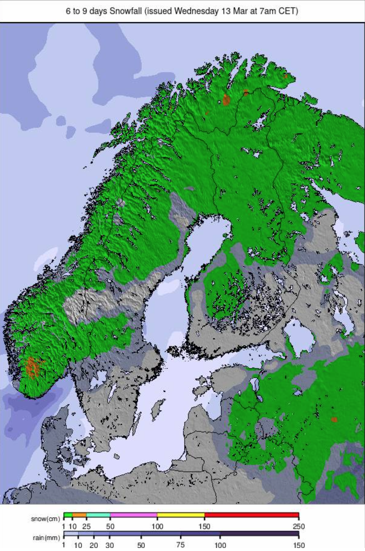
It’s been a better week in Scandinavia after the warm temperatures and rain earlier this month. Although gusting winds have been an issue at times, the days have been starting with -5 to -10C temperatures in most areas, staying subzero at altitude and further north through the day, but getting soft in the afternoons at more southerly and on lower slopes. There have been several light to moderate snowfalls to refresh the snow cover. Sweden’s à re (60/105cm / 24/42″), which hosted World Cup Women’s Alpine ski racing at the weekend, remains more than 90% open and has the most terrain available in the region. Norway’s Myrkdalen (130/240cm / 52/96″) has the region’s deepest snow.
SCANDINAVIA FORECAST
A cold and snowy picture for the week ahead with afternoon valley highs of +2C for most (although perhaps +8C further south around Lillehammer), and overnight northerly lows of -20C, more light to moderate snowfalls expected midweek, drier towards the weekend.
SCOTLAND REPORT
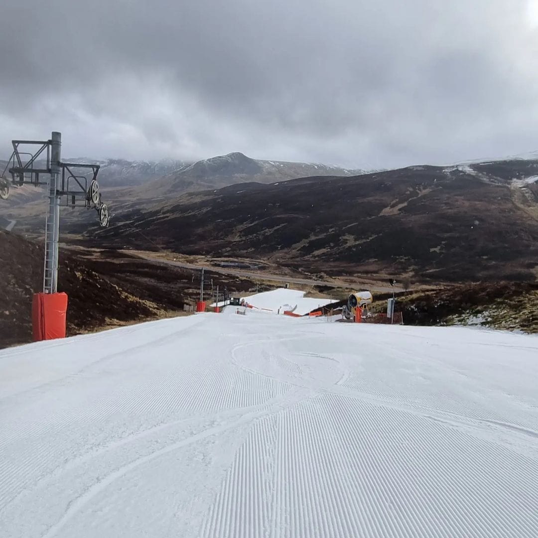
There have been more snow showers this week but it has not made much difference to the very limited terrain currently offered by the country’s five centres. Glencoe has about the most available and the best lift service, with Cairngorm also offering more than just beginner slopes still, but with the ongoing issuer of no uplift from base to upper runs with the funicular out of action, so it’s a hike up with your ski gear. Both areas report lower cover thin/gone as thawing outstrips fresh snowfall so it is really for determined intermediates/experts. Both areas also have nursery slopes open, as do Glenshee (which has a little more besides offering three runs in total) and The Lecht.
SCOTLAND FORECAST
More snow showers are forecast for higher Scottish slopes, but spring temperatures, and thus the snowline, are also creeping up, so it’s hard to see a big transformative snowfall accumulation that will really turn things around in the coming week.
SPAIN / ANDORRA REPORT
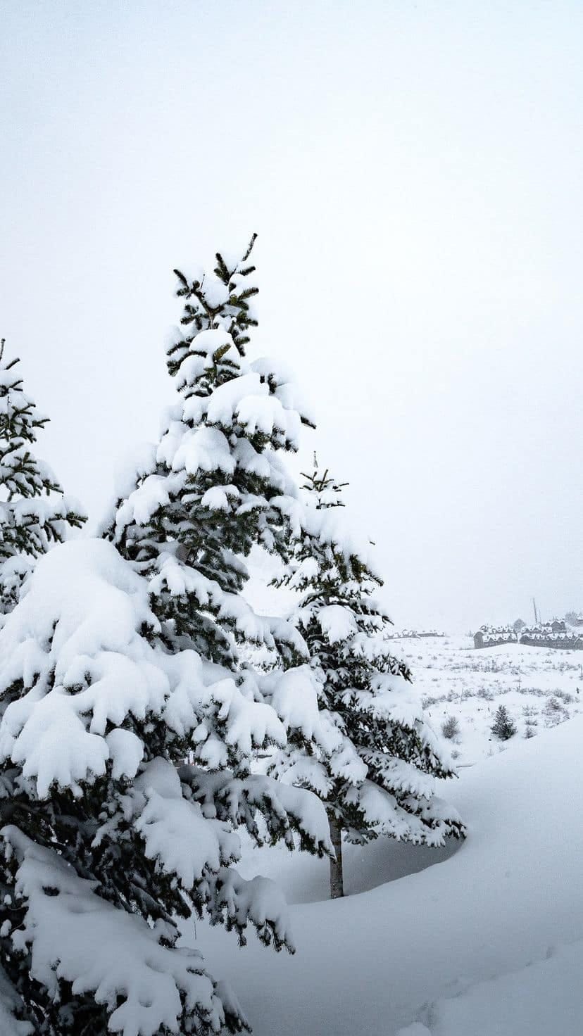
The third great week in a row for the Pyrenees, with still more heavy snowfall improving conditions still further. The region’s biggest resort, Andorra’s Grandvalira (110/190cm / 44/76″), has hit 201km (125 miles) of slopes open, by far the most this winter and more than 90% of its slopes as a result. It’s a similar story – in terms of a much-improved base and more terrain open – for most areas in the region, although excited free-=riders should not know that the off-piste avalanche danger level is at 4/high as we publish this week’s report. A special mention of Portugal’s sole ski area, Serra de Estrela, is worth making here as it had some of its heaviest-ever snowfall after not getting much with record warm weather through much of the first two-thirds of the season, leaving lifts and buildings buried metres deep in snow.
SPAIN / ANDORRA FORECAST
The cold and snowy spell appears to be finally easing off, and it’s a mostly sunny rest of the week forecast, with perhaps just some light snowfall going into the weekend. Valley highs are likely to be back into double figures above freezing in the afternoons, closer to freezing up high overnight.
BULGARIA / ROMANIA REPORT
Bulgarian and Romanian ski areas have been posting snowy images after fresh snowfall on their higher slopes. Bansko’s base (10/125cm / 4/50″) is back up over the metre mark, and 80% of its terrain is open, the best stats since February. Borovets(95/100cm / 38/40″) has also seen its base increase, with about two-thirds of its terrain, mostly on the upper mountain, still open.
BULGARIA / ROMANIA FORECAST
Cloudy skies and slightly cooler temperatures than further north in the Alps, with lows remaining at or below freezing on high slopes even in the daytime and valley highs around +8C, freezing overnight. Little or no precipitation is forecast, though.
CZECH REPUBLIC / SLOVAKIA REPORT
Most ski areas in the Czech and Slovak Republics have closed for the season already, many noting that it has been a challenging season and with no real sign of a significant change from the predominantly warm, dry weather, they might as well call it a day on 23-24. But the big resorts will carry on into April, and they’ve had some cooler weather and even a little snowfall this week as a reward. The region’s biggest, Slovakia’s Jasna (40/80cm / 16/32″), still has about two-thirds of its terrain open.
CZECH REPUBLIC / SLOVAKIA FORECAST
It will be mostly dry and increasingly sunny across the region in the latter half of this week, although light snowfalls on high slopes are possible. Temperatures will be around freezing overnight at 2,000m and as warm as +12C in valleys in the daytime.

